The Harnessing Machine Learning project is funded by the USAID-funded Feed the Future Innovation Lab for Fish. There are three main project components:
- Component 1 - 'Stacked value chain surveys' with a statistically representative sample of aquaculture value chain actors in Southern and Southwest Bangladesh. These include farmers, fish traders, fish retalers, aquaculture feed supply businesses, and hatcheries. A very rigorous approach to survey design and implementation ensured high data quality and statistical representivity.
- Component 2 - Estimates of the area of aquaculture farms in Southern and Southwest Bangladesh using machine learning techniques to extract information from freely available satellite images. These figures are combined with data from the stacked surveys to estimate quantities of fish and shrimp produced, and the contributions of aquaculture to employment, nutrition, and the regional economy of Southwest Bangladesh. The project is the first of its kind combine remote sensing and machine learning with value chain surveys to estimate the economic and nutrtion impacts of aquaculture at the regional scale.
- Component 3 - Capacity building through production of short low-cost extension videos to promote new and emerging technologies identified during the survey. These are disseminated by social media to help accelerate technology diffusion. The project also provided online trainings on remote sensing and machine learning techniques.
Project Team
- Dr. Ben Belton, PI, Michigan State University, USA and WorldFish
- Professor Dr. Mohammad Mahfujul Haque, Host country PI, Bangladesh Agricultural University, Bangladesh
- Dr. Khondker Murshed-e-Jahan, Co-PI, WorldFish
- Hazrat Ali, Collaborator, WorldFish
- Dr. Ricardo Hernandez, Collaborator, International Center for Tropical Agriculture (CIAT), Vietnam
The Feed the Future Innovation Lab for Fish is managed by Mississippi State University through an award from the United States Agency for International Development (USAID) (Award No. 7200AA18CA00030; M. Lawrence, PI) and provides support to this project (Grant No. 193900.312455.12B; Belton, PI; Haque, PI).
Presentations from final workshops
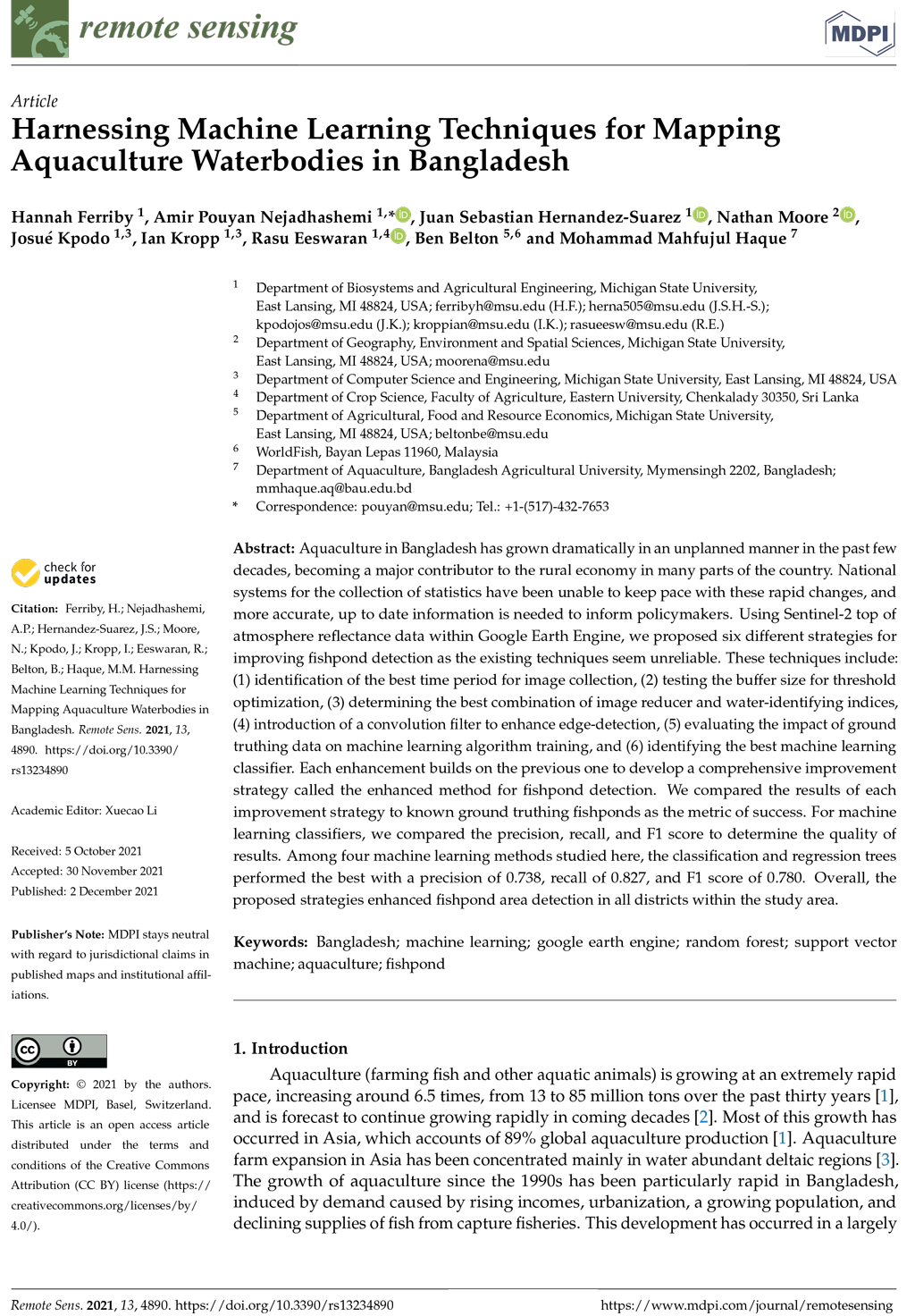
Journal article
Decision support tool websites
- https://dsiweb.cse.msu.edu/demo/Bangladesh_aquaculture_data_portal_seven_districts/
- https://dsiweb.cse.msu.edu/demo/Bangladesh_aquaculture_data_portal_all_districts/
Farmer’s narrative extension videos
Farmer’s Narrative: Integrated Rice-Prawn/Shrimp-Vegetable Farming System
Farmer’s Narrative: Youth Employment in Aquaculture Value Chain (Wholesale Market)
Farmer’s Narrative: Women's Employment in the Aquaculture Value Chain
Farmer’s Narrative: The negative impacts of climate change on prawn farming
Farmer’s Narrative: Low-cost long distance irrigation
Farmer’s Narrative: Removing sludge from prawn/shrimp farm
Farmer’s Narrative: Women employment in integrated Gher farming
Farmer’s Narrative: Maximum land utilization in integrated rice-prawn/fish-vegetable farm
Farmer’s Narrative: Seasonal Activities in Integrated Farming
Farmer’s Narrative: Making of shrimp harvesting trap
Farmer’s Narrative: Pocket nursing for shrimp farms
Farmer’s Narrative: Integrated rice-shrimp cultivation in a saline area
Farmer’s Narrative: Local nursing and selling of tiger shrimp post-larvae
Remote sensing training videos
Video 1: This lecture is a general introduction to remote sensing. It covers what remote sensing is, different sensing platforms, types of images, and applications for remote sensing. This lecture also walks through how to set up a Google Earth Engine account for future examples.
Video 2: Lecture 2 is an introduction to Google Earth Engine (GEE). It is a walkthrough of how to access the code editor page and what all the different parts of GEE do. This lecture does not provide a background on JavaScript but does provide some general examples of using JavaScript for GEE.
Video 3: Lecture 3 provides information on how to use different EM wavelengths to calculate the presence of certain land cover types. The lectures go over NDVI, NDWI, MNDWI, and AWEI and provides an example of how to code these in GEE.
Video 4: The fourth video in this series introduces the first part of our research work. We go over image collection and filtering, defining the best water index for each district, using a convolution filter to increase edge detection, and creating the MNDWI Mask in GEE.
Video 5: The fifth video is a continuation of our research work. It goes over what image thresholding is and how we specifically use Otsu Segmentation to separate water pixels from non-water pixels.
Video 6: Lecture 6 is both a continuation of our research and an introduction to machine learning. It covers the two major types of machine learning: supervised and unsupervised. In addition to this, it covers the four types of machine learning classifiers we used in our research: Logistic Regression (LR), Classification and Regression Trees (CART), Random Forest (RF), and Support Vector Machine (SVM).